Sure, we all get mad at governments and love to blame them – especially if we didn’t vote for them, it’s always the other mob’s fault after all. But generally we trust them to know what’s good for us. Or not.
But when the independent experts at the Bureau of Meteorology don’t know what’s going to happen, that is scary.
The developing weather system for the week ahead gives them 4 wildly different results according to which model they apply. No wonder our snow forecast sites are struggling to keep up!
Their forecasts for the 72 hours from Tuesday June 8 vary wildly according to which forecast model they apply.
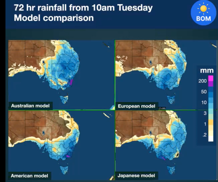
Go figure. Whichever model you choose, the totals are already on the up and up.
Here’s how the BOM describes the situation:
A large and deep cut-off low is expected across eastern Australia early next week. This is being driven by a strong cold front moving through the Great Australian Bight during Monday before cutting off and becoming slow moving over southeastern Australia on Tuesday and Wednesday. A band of rain and strong, possibly damaging winds will move across southern SA, western Vic and western Tas from Monday afternoon.At this stage, areas which could be impacted by heavy rain appear to be eastern Vic and northeast Tas, while the rest of Vic, NSW and southern Qld may see strong winds, thunderstorms, and cold conditions. However, there is large model divergence in the position of this low, and therefore there is a high degree of uncertainty less than one week out. Snow is also likely to fall over large parts of elevated NSW and Vic down to low levels and possibly heavy. Snow flurries are also possible across parts of SA as well, depending on where the coldest air moves over.Know your weather. Know your risk. For the latest forecasts and warnings, go to our website http://ow.ly/Kl8D50F2DPo or the #BOMWeather app and follow the advice of emergency services.
Yet on the forecasts – including one we shared out from early Friday, just 10 – 17cm was forecast for the next 5 days, 31 – 65cm for the next 10 days. Hmmmm.
TV news was calling 30cm plus daily for the period tonight.
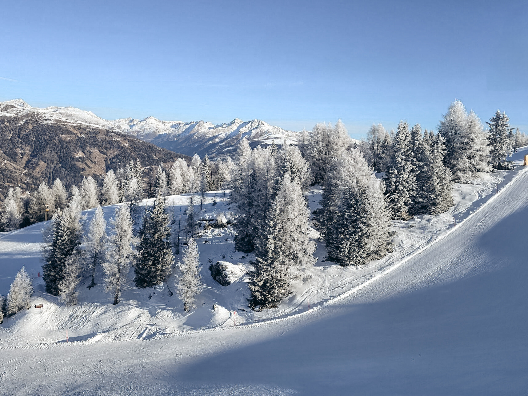
Whatever it turns out to be total wise, the bottom line is a major kick start just ahead of the normal ski season, opening most places on June 12 after Perisher fired up today.
We all know the expression when the shit hits the fan; this is shaping up more like when the fans hit each other, shit happens..
Strap in, and bring it on!